Mapersive
Mapersive
Poduct Designer
2023-2025
About Project
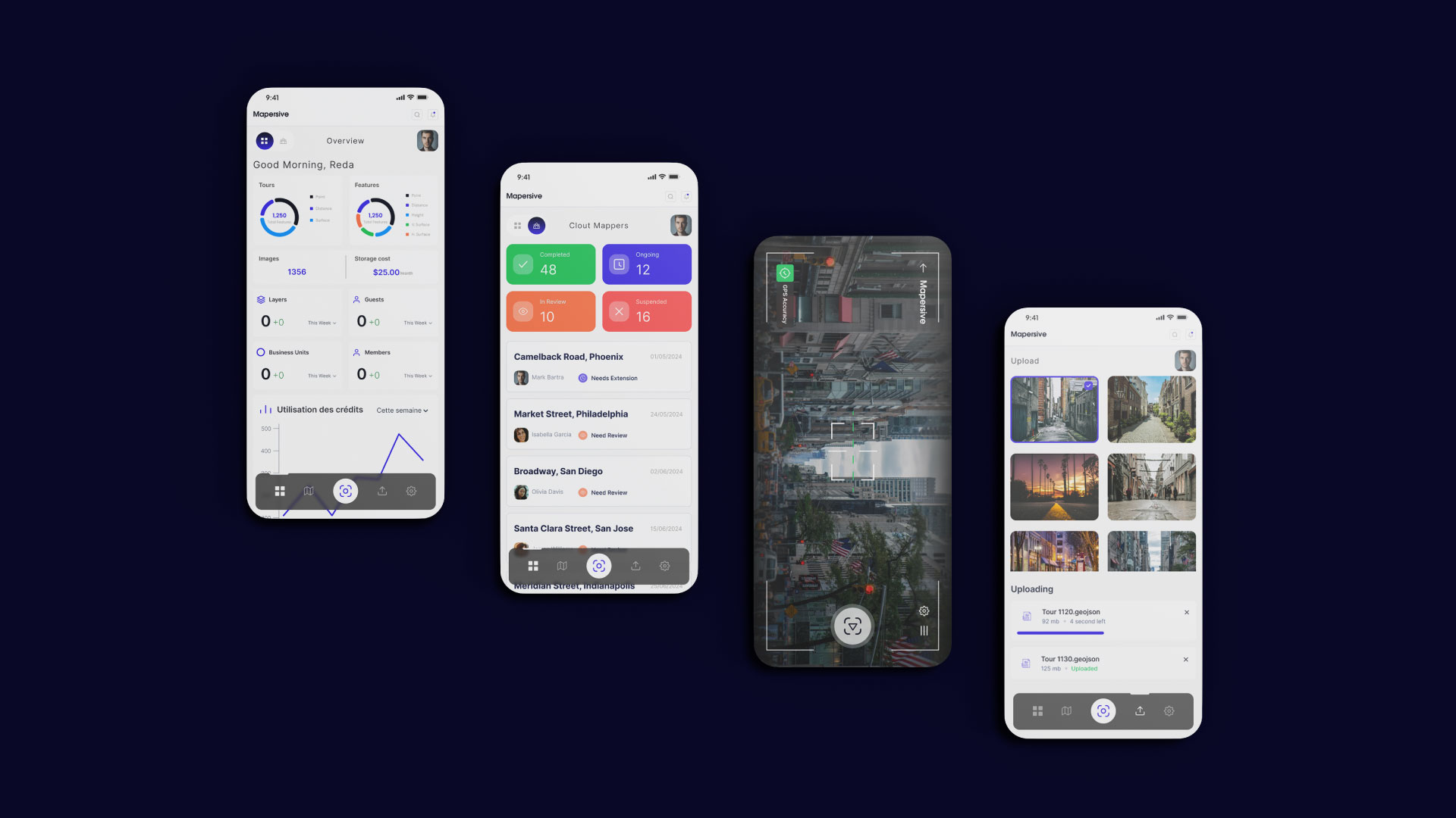
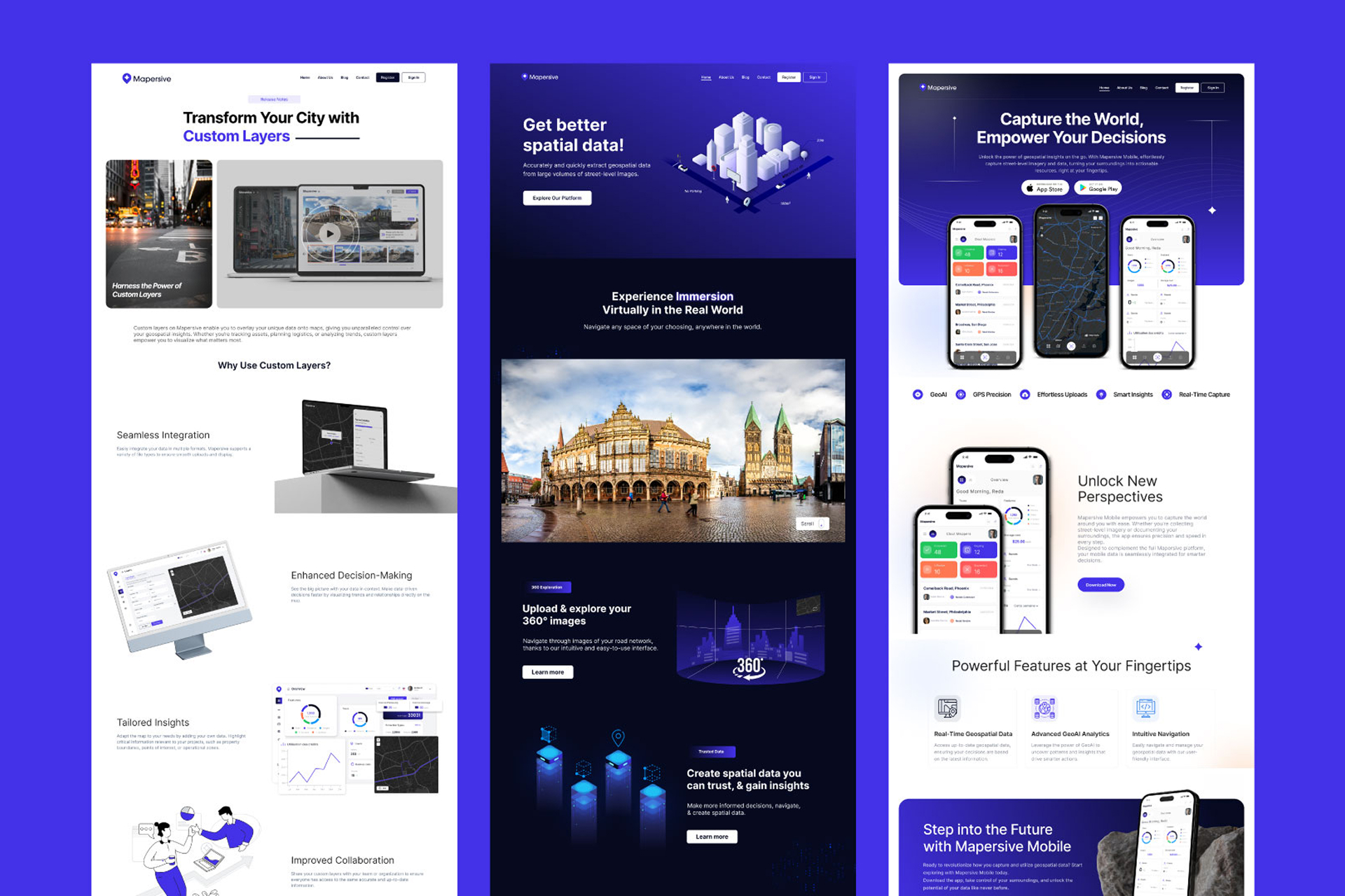
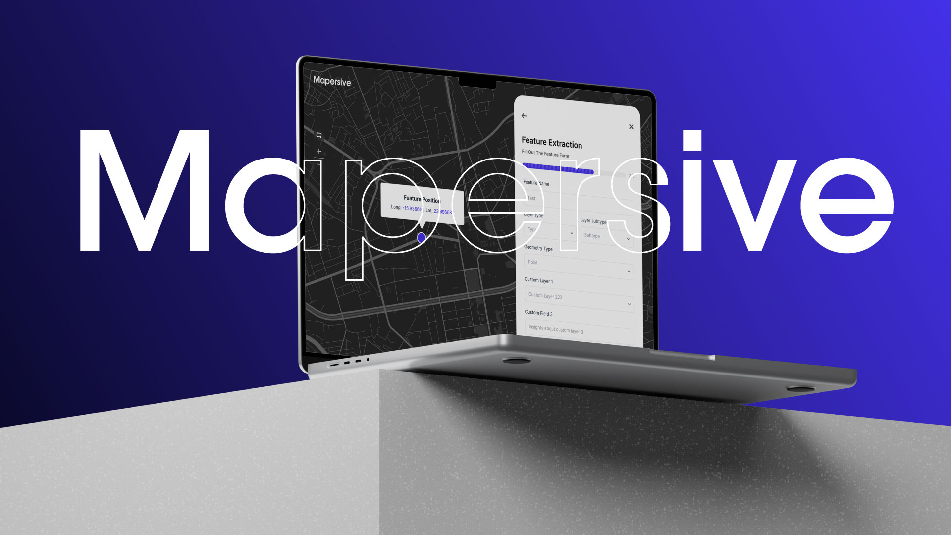
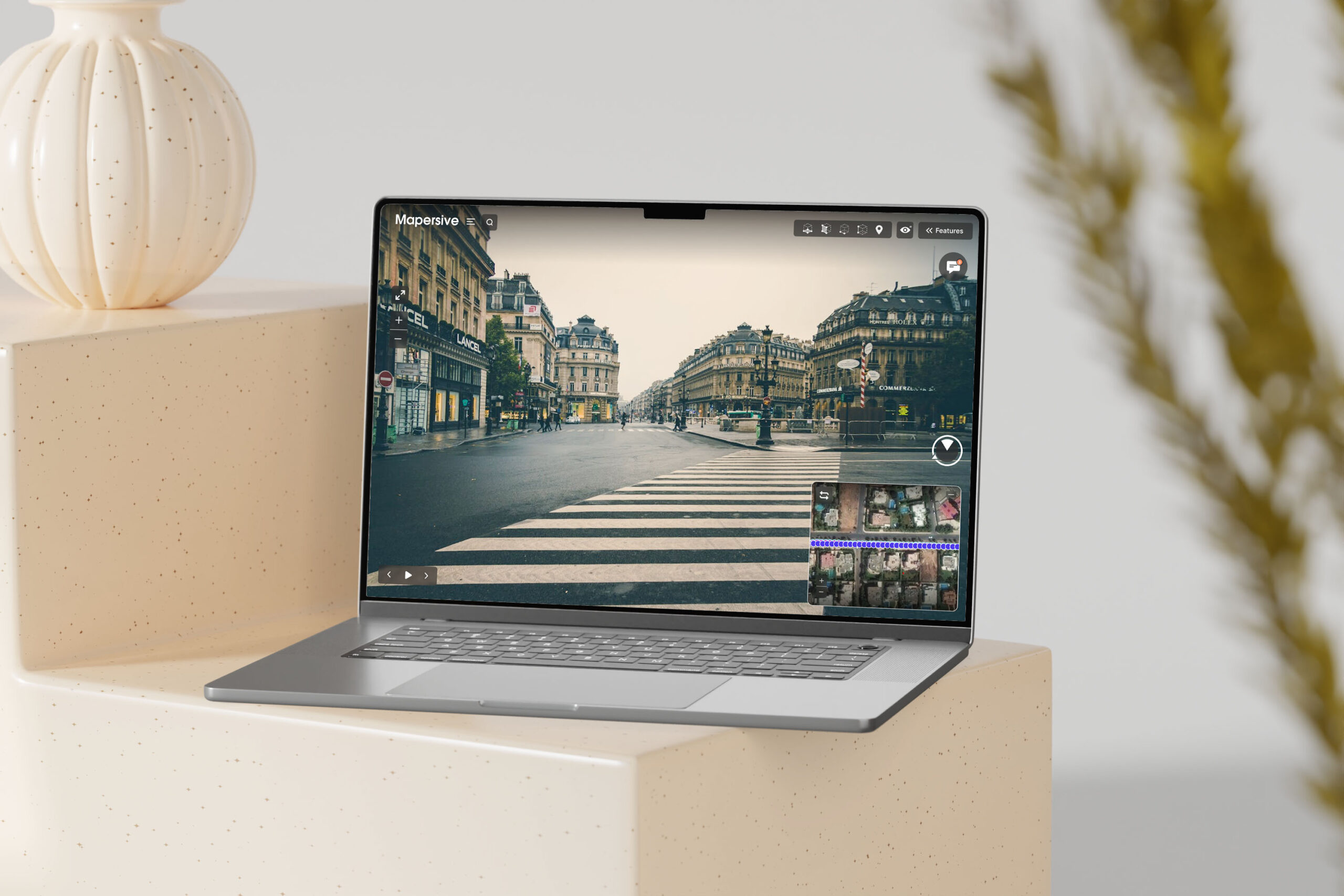
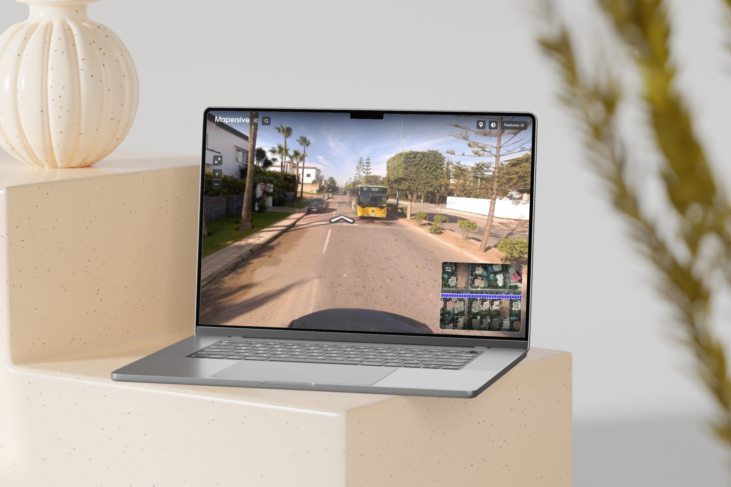
Every street holds information most people never think to look for signage, infrastructure, urban assets invisible until someone extracts it. Mapersive was built to do exactly that: turn street-level imagery into structured, usable geospatial data.
The challenge was never just extraction, it was translation making highly technical geospatial output legible and exportable for GIS analysts, city planners, and decision-makers working in tools like Esri, without forcing them to change how they already work.
- Product design for GIS & geospatial tools
- Systems integration
- Team & role management design

Two users,
one pipeline.
Street imagery becomes a decision in five moves. A GIS analyst works the data; a city decision-maker works the question. The design had to hold both at once without asking either to learn the other's job.
The hard part was never extraction. It was making the output legible to someone who will never open a GIS tool, while keeping it exact enough for someone who lives in one.
Five layers,
street to Esri.
The product is a stack. Each layer does one job and hands off cleanly to the next, which is what let the platform grow from extraction alone to teams, personalization and full Esri delivery.
Shaped by what streets don't say out loud
turning raw geography into insight
cities can act on.
01. Translating Geospatial Complexity
Design started by understanding two very different users at once technical GIS analysts and non-technical city officials and the gap between raw extracted data and a decision someone could actually act on.02. Designing Intelligent Workflows
Feature types, storage structures, and export flows were designed to be flexible enough for complex urban datasets, yet simple enough to move seamlessly into existing GIS software without added steps.03. Implementation
The platform was built and refined from zero, expanding to support team and role management, feature personalization, and full Esri integration now used by major cities in Morocco and abroad.